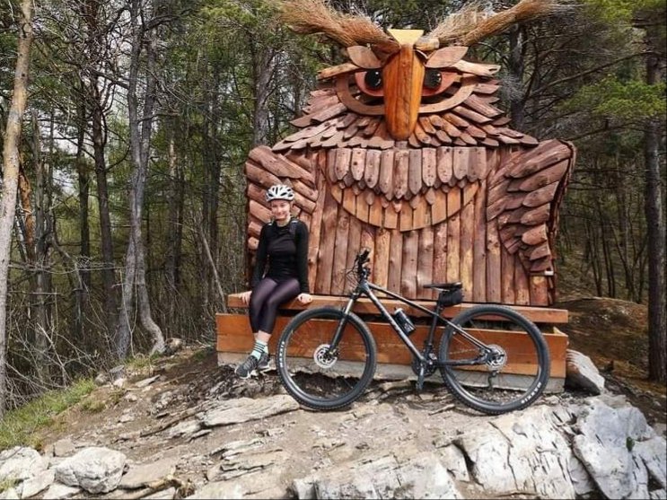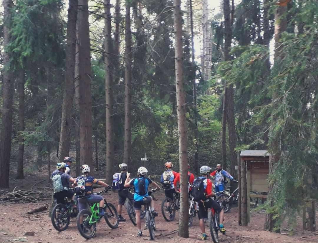
Welcome bikers in the Cerreto park, we hope you enjoy the paths we have designed for you in the best possible way.
Trails, mule tracks and trails of every difficulty are at your disposal to explore, while having fun, the wonders of these woods.
From bikers to bikers we want to make some recommendations.
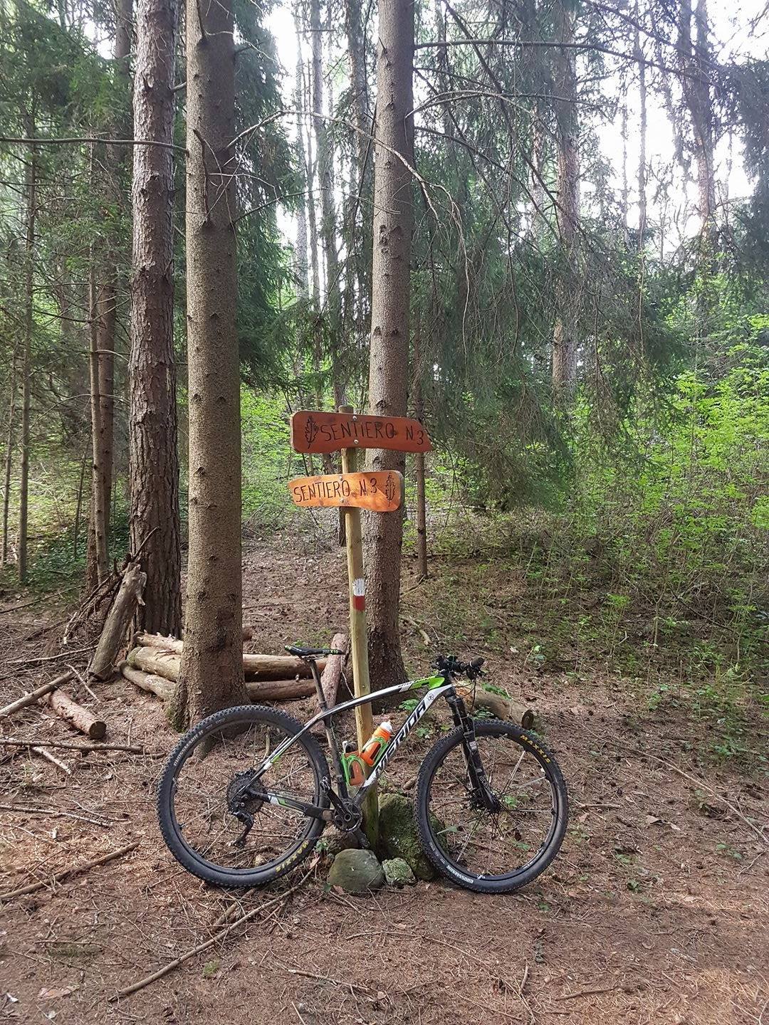
These woods are not a bike park and therefore ALL paths are CYCLOPEDONAL or open to vehicular traffic.
Pay attention to the hikers you find along the way, remembering that they always take precedence, keep an adequate speed to avoid accidents considering that there may also be children.
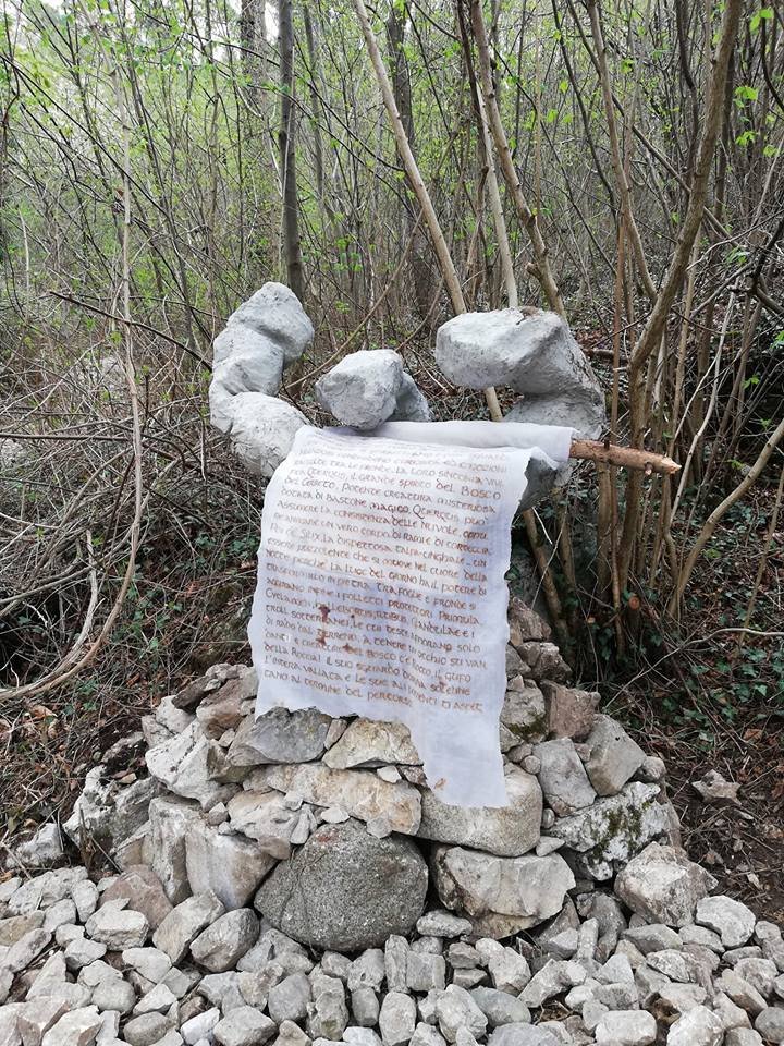
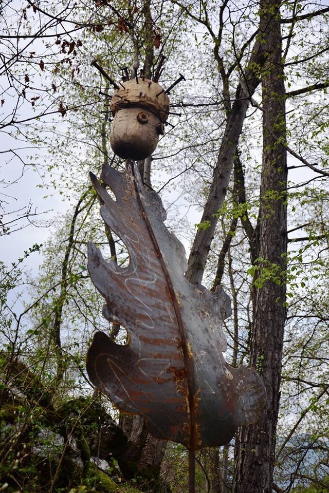
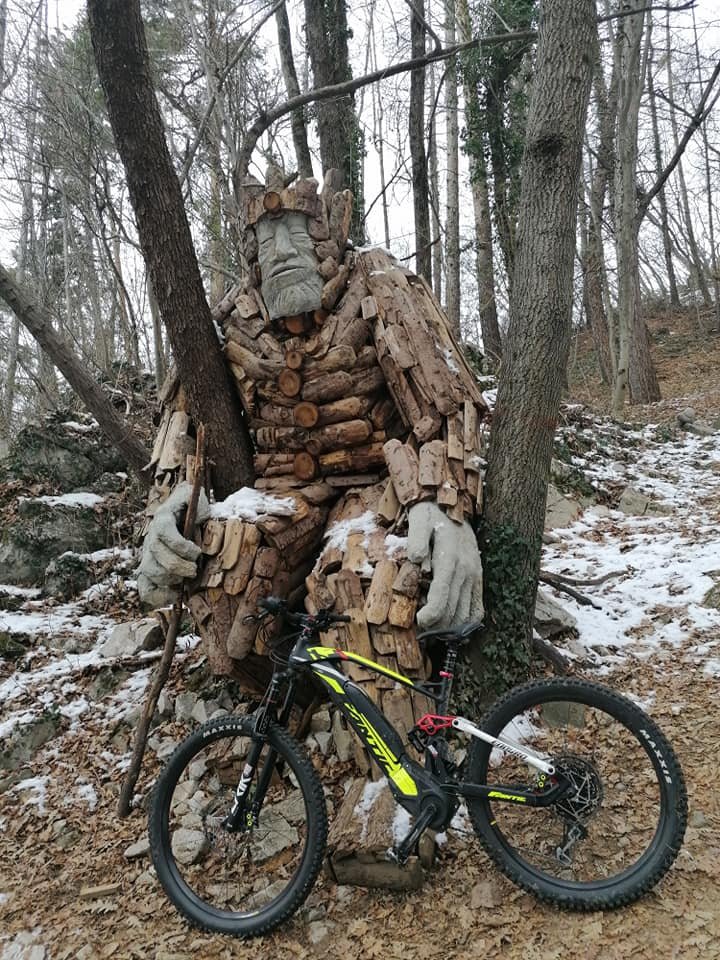
The environment that surrounds us is the heritage of all, it is our duty to approach us with the utmost delicacy, we try to limit our impact to the traces of the wheels (if we can not even those).
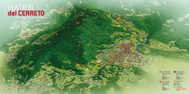
The routes are a little 'for all tastes and allow you to enjoy the Cerreto from all its sides.
Choose the ones that best suit you, taking into account your preferences and your skills and have fun.
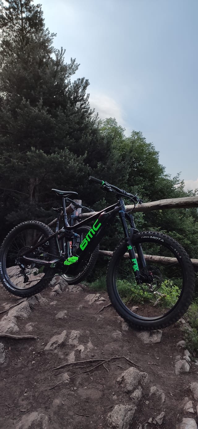
Recommended equipment:
- Helmet;
- Backpack;
- Glasses;
- Gloves;
- Knee pads;
- Bicycle shoes.
ROUTE 1
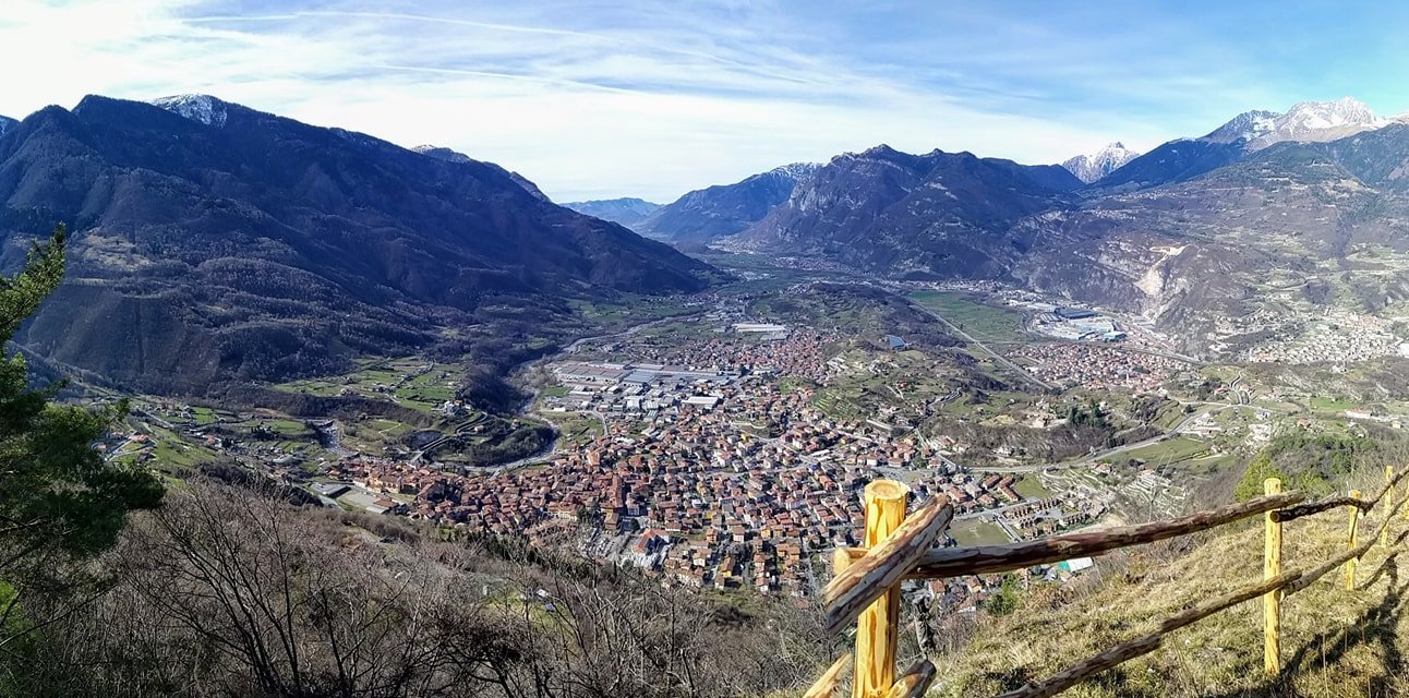
The loop tour 1 does not present great difficulties and can be defined "for all" those who have a minimum of training and a mountain bike or an ebike. In common with the other two rides, the ascent that starts in front of the town hall of Bienno and follows the bike signs, winds with variable slopes passing through the village of Prestine up to the church of San Martino. From there begins a nice descent on a dirt road but with a good bottom, following the signs always through country roads you enter the area above Breno from where you can enjoy enchanting views of the castle. The return to Bienno still follows rural paths that touch the small village of Mezzarro before passing under the Maddalena hill (where the statue of Christ the King stands).
Distance: 14.4 Km
Duration: 2.30 h, con mtb/ebike sia full che front
Difference in height: min 400 m / med 577 m / max 827 m
Gain / loss in height: 790 - 791 m
Slope: max 8.6 - 9.4 % - med 8.6 - 9.4 %
Effort: average, with a discrete training
ROUTE 2
The loop route 2 shares the same route of route 1 and 3 shortly after the little church of San Martino, where at a marked fork you go up towards the left through a path in the direction of the Cerreto hill. Always following the signs 2-3 you reach the Plagna de Caalar where the descent begins. This develops on very funny single tracks but which can sometimes present some pitfalls. Ideal for those who love to drive on well-defined paths with slopes that are not too high and a good ground. In the final part it rejoins with the track 3 which ends at the church of San Pietro in Vincoli from where the starting point can be reached again. Recommended for bikers with bike / ebike full or front.
Distance: 11.4 Km
Duration: 2 h, con mtb/ebike sia full che front
Difference of height: min 430 m / med 632 m / max 826 m
Gain / loss in height: 780 - 781 m
Slope: max 36.4% - med 10.6 - 12.4 %
Effort: average, with a good bike / ebike training, protections recommended.
ROUTE 3
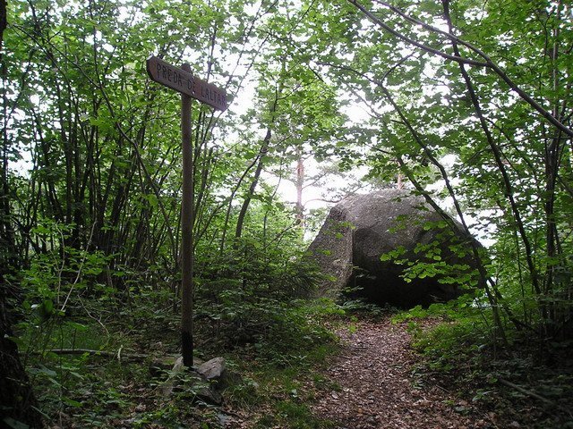
Ring route that shares the ascent in part with route 1 and in the last section with route 2 and then continues uphill where, to avoid passages on private land, you must necessarily bring the bike for about 10 minutes until you reach the top of the Cusen (highest point of the Cerreto hill) and then continue towards the Prey of the Altar. From there starts a very demanding descent with a bottom full of roots and considerable slope. The route continues on a nice single track that can be driven very easily but, without warning, there are significant changes of slope especially in the last section before meeting the 2 where the bottom is very uneven. The final part is fun and more relaxing. The ring is recommended for expert bikers with full bike / ebike and protections.
Distance: 11.8 Km
Duration: 2 h, con mtb/ebike sia full che front
Difference of height: min 430 m / med 644 m / max 891 m
Gain / loss in height: 829 - 829 m
Slope: max 44.8 - 51.0 % - med 11.1 - 13.2 %
Effort: high, with a good bike / ebike full training, protections recommended.
MOUNTAIN BIKE MAP... CLICK HERE